


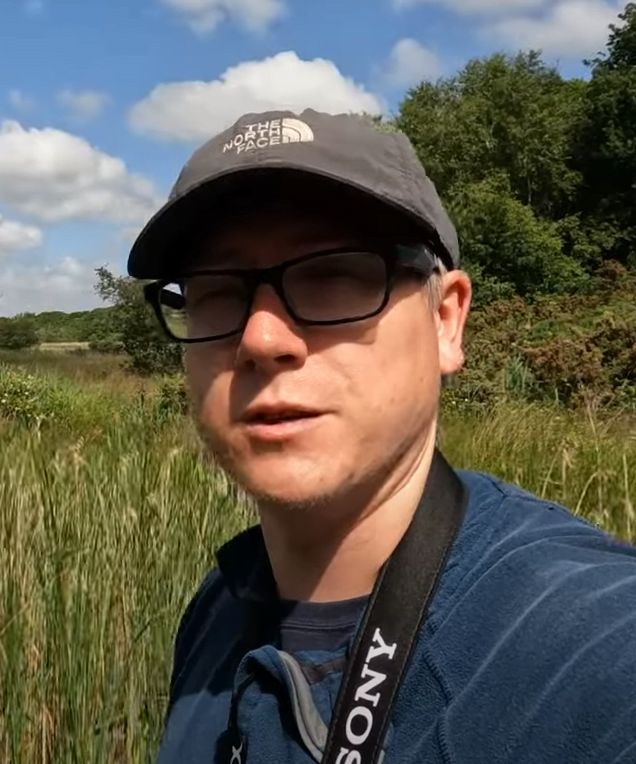
I’m Joe, a longtime hillwalker, climber and photographer. I grew up in the Broads and spent many days and evenings walking the riverbanks, woodlands and reedbed footpaths allowing me to discover countless hidden views, ruined mills and plenty of wildlife. This passion for being outside has come from my mother as she would frequently take me to the local Wildlife Trusts or RSPB Reserves to try and spot something interesting! Frequent family holidays to the Lake District would allow me to go out exploring the fells with my family, visiting the nearby waterfalls and being out in nature.
I studied for an HND in Media (Moving Image) and then did a few years working on independent films and TV series shot locally but after realising it’s not possible to make a living out of this without moving to London, I decided to move to the Lake District for a while. This allowed me to head out and explore the fells on every available day off. After about 18 months I headed back to the lowlands of East Anglia to begin training as a Paramedic and in 2018 gained my registration.
In recent years I have progressed onto making short films on my walks and producing guidebooks. Since the Covid-19 Pandemic things have changed… I’ve changed… the world has changed and I’ve noticed people seem to be more appreciative of the great outdoors, especially the countryside right on their doorstep. This leads up to the present day as I continue my ‘day job’ as a Paramedic and in my spare time continue to work on producing films and guidebooks.