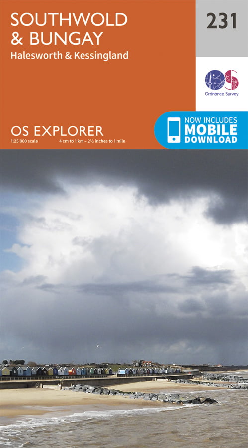


1:25 000 scale (4 cm to 1 km – 2.5 inches to 1 mile) folding map featuring Beccles, Southwold, Bungay, Halesworth and Kessingland.
£12.99
26 available in stock
OS Explorer 231 Southwold & Bungay featuring :-
1:25 000 scale (4 cm to 1 km – 2.5 inches to 1 mile) The essential map for outdoor activities.
OS Explorer Maps are the Ordnance Survey’s most detailed folding maps and are recommended for anyone enjoying outdoor activities including walking, horse riding and off-road cycling. Providing complete GB coverage, the series details information essential in the great outdoors, including youth hostels, pubs and visitor information. Rights of way, fences, permissive paths and bridleways are clearly shown, ensuring you have the best information to get the most out of your time in the countryside.
This map comes with a digital version which you can download to your smartphone or tablet.
Ordnance Survey, the OS Symbol, OS and Explorer are registered trademarks of Ordnance Survey, the national mapping agency of Great Britain. Made and published by Ordnance Survey of Southampton, United Kingdom.
© Crown Copyright 2002. All rights reserved.


This website uses cookies to ensure you get the best experience on our website. Find out more.